- 20 regional towns digitised into 3D mapping
- Data designed to help town planners, property developers and more
- Proof-of-concept project information available on DELWP website
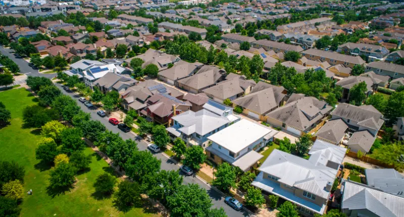
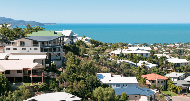
20 regional towns across Victoria will now be able to access 3D building data.
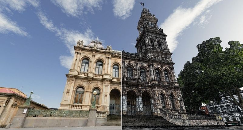
The Victorian Department of Environment, Land, Water and Planning (DELWP) has made the 3D data available as part of a “proof-of-concept” project to “explore how 3D spatial datasets can be created from Victoria’s growing archive of high-resolution photography and elevation data.”
Victorians will be able to access data about natural and built-form landscapes, as well as 3D building object models, photomesh models, and other data.

DEWLP created the project to support a number of crucial regional roles including regional town planners, community services, property developers and investors, providing them with high-quality data that can guide a decision making process.
The Department also said there is a crossover with a number of modern technologies such as digital engineering, remote sensing and artificial intelligence.

Benefits of the technology include bush fire risk assessment and management, it is also vital to creating smart cities, in particular the 20-minute city proposed by the Victorian Government.
Access to the data is now available via the Department of Environment, Land, Water and Planning website.