- A number of Australian homes are at risk of not being insured against a range of natural disasters
- 1 in 11 properties are expected to reach medium risk by the end of the decade
- Savvy has come across the five most vulnerable areas
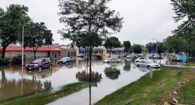
An increasing number of Australian homes are at risk at not being insured against an array of climate-change-related natural disasters.
These include riverine flooding, coastal inundation, extreme wind, bushfires and surface water flooding.
The stark warning was recently released by the Climate Council, which estimated that 520,940 properties – or one in every 25 – are ‘high risk’ and not insurable.
It also comes as plans are underway for a reinsurance pool covering northern Australia.
“In addition, 9% of properties (1 in 11) will reach the ‘medium risk’ classification by 2030, with annual damage costs that equate to 0.2-1% of the property replacement cost. These properties are at risk of becoming underinsured,” the report said.
Savvy has analysed the Climate Council data and found the locations most vulnerable to weather events
- Greater Shepparton, Victoria
With 27.4% of 94,280 properties, the Greater Shepparton, Moira, Campaspe, Mitchell, and portions of Strathbogie have the largest percentage of at-risk properties. Although it comprises significant regional centres like Shepparton, which might be categorised as a regional urban area, Greater Shepparton is still regarded as rural. 1.5% and 26.5% of people are at high risk of surface water flooding and riverine flooding, respectively.
The area has a history of mass flooding. Major events occurred in 1916, 1917, 1939, 1956, 1958, 1974, 1993 and 2010/11/12 in the Shepparton, Mooroopna and Murchison areas
The analysis found that by 2030, 1,607 properties in this area are at high risk for surface water flooding and a further 2,140 properties at ‘medium risk’.
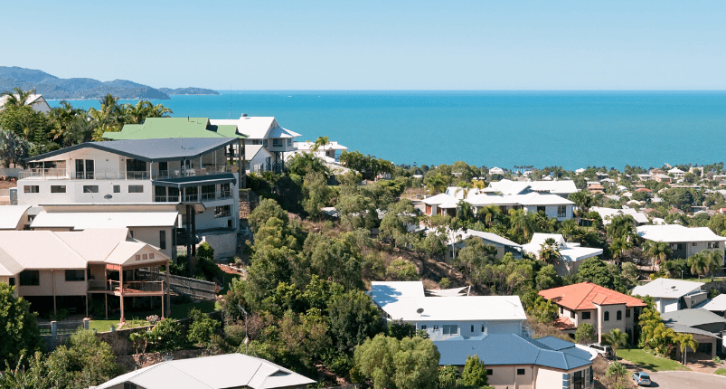
- Tweed, Byron, Ballina, NSW
The Tweed-Byron-Ballina area is home to many major regional centres such as Byron Bay, Hastings Point, Tweed Heads, and Mullimbimby. Of the 106,455 properties in this area, 20.9% are considered high risk.
5.2% are at high risk of bushfire exposure, with 0.4% of properties are at risk of surface water flooding. 14.5% are at high risk of riverine flooding.
Located in the Federal electorate of Richmond, these areas have below-average incomes compared to the rest of the nation. This suggests extreme weather events are being experienced by those who can least afford the assocaitied bills.
- Maranoa River Area, Queensland
Located in south-west Queensland, the Maranoa River region is included in a regional electorate that spans almost 750,000 square kilometres. Charleville, Cunnamulla, Dalby, Roma, Kingaroy, St. George, Stanthorpe, Winton, and Warwick are among the towns that can be found in Maranoa. It is also home to the Condamine-Balonne River system, one of the main tributaries of the Murray-Darling river system, in addition to the Maranoa River.
Of the areas 132,078 total properties, 14.8% are at high risk of extreme weather events. 13.9% are at high risk of riverine flooding, and 0.6% at risk of bushfires.
It is estimated that 70% of properties in St George will be uninsurable due to flood risk by the end of the decade.
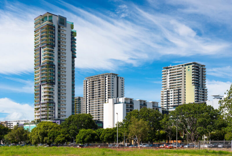
- Surfers Paradise/Gold Coast, Queensland
The most populated area on the list, it is hard to overstate the importance of Surfers Paradise and the Gold Coast to the tourism industry. The Gold Coast City Council local government area has experienced over 20 floods since 1958, all of varying degrees.
Almost 14% (13.7%) of the locality’s 131,924 properties carry a high risk. 11.9% of properties are subject to riverine flooding, 1.7% are at high risk of surface water flooding and 0.1% of properties are at high risk of bushfire.
45% of houses in Broadbeach Waters will be in high danger of riverine flooding by 2030. This is followed by Mermaid Waters and Surfers Paradise, where about 25% of buildings would be at “high risk” at the same time.
- Lockyer Valley & Scenic Rim, Queensland
This area spans around 7,500 square kilometres of the Gold Coast hinterland.
Of the 88,952 properties in the area, 13.6% are at high risk. 9% of properties are at high risk of bushfire; 3.6% are at high risk of riverine flooding and 0.4% are at high risk of surface water flooding.
By 2030, the risk of fire will affect a significant number of properties in the communities of Yarrabilba, Canungra, Greenbank, Kairabah, and Jimboomba.