- Laser scanning used to map 243km of Great Ocean Road
- Has multiple uses including fire prevention, road management, urban and regional planning
- Conducted by Surveyor-General of Victoria
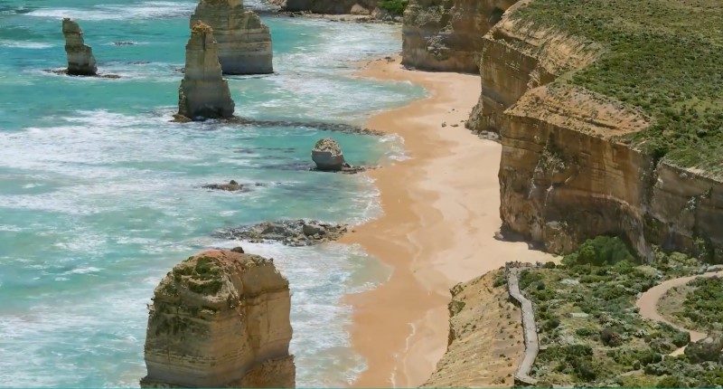
In the late ’90s, the Twelve Apostles was featured in the famous “I Call Australia Home” Qantas TV ads.
The Australian heritage site can now be viewed in incredible definition, point-by-point, thanks to work by the Surveyor-General Victoria, and Land Use Victoria.
243km of the Great Ocean Road has been mapped using a combination of laser scanners (LiDAR), traditional surveying techniques, and thousands of aerial photos combined to create a 3D model of the Great Ocean Road and surrounding landscape.
From the golf courses of Torquay to the cheese museum of Allansford, Land Use Victoria said the task took “40 flying hours in fixed wing aircraft, 6 hours of helicopter capture and over 35 hours of combined vehicle and ground surveying work.”
“The project was undertaken to support the establishment of the Great Ocean Road Coast and Parks Authority, to protect and better manage coastal Crown land and marine parks along the Great Ocean Road.”
Land Use Victoria
“This work included a 3D model of the foreshore and cliff coast between Princetown and Peterborough, which covers Port Campbell and the Twelve Apostles.”
A visual gaming engine can be used to view the 3D photomesh dataset and has a number of applications beyond just the parks authority, including fire prevention, biodiversity conservation, nature trail building, road management, urban and regional planning and development, R&D and public policy.
“This immersive experience is so real, you won’t believe it’s a model.”


