- CoreLogic’s RP Data and ValConnect products to receive a mapping upgrade
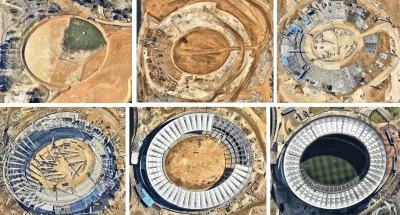
- Nearmap uses high-resolution proprietary camera technology
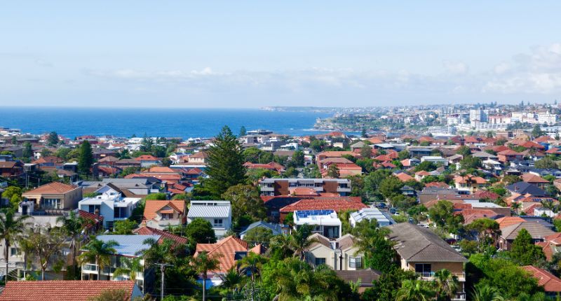
- Covers 100 urban areas, almost 90% of the Australian population
A tie-up between property data company CoreLogic, and ASX-listed mapping technology business Nearmap (ASX: NEA) will mean CoreLogic’s products will soon integrate higher resolution mapping.
Originally founded in Perth in 2008, but now based in Sydney, Nearmap has risen to a market capitalisation of $824 million as of today (share price $1.68).
Their aerial imagery covers almost 90% of the Australian population and is also available in the US (where they have 68% coverage) and New Zealand (72%).
One nice feature is being able to go back in time, using a slider to see any changes to a particular property.
Interviewed on Australian Business News, Tim Lawless, from CoreLogic, spoke about this feature.
“The imagery you’ll find on Nearmap is a much higher resolution on what you’d find on other services … so it provides a lot more detail, as well as detail over time, so you can see things like – when did someone add a pool to their property?”
Tim Lawless, head of research, Asia-Pacific
Captured from light aircraft rather than satellite, using state-of-the-art proprietary camera technology, Nearmap delivers high-resolution, and current imagery.

“This makes it easier than ever to understand and analyse the current features of a property and its surrounding environment,” said CoreLogic in a statement.
“Powered by industry-leading geospatial technology, Nearmap frequently captures 100 urban areas across Australia, … in high resolution, producing 2D vertical, oblique, 3D and AI products.
“Having reliable access to clear and current aerial imagery may potentially reduce the need to physically visit properties. It may help you plan projects, make confident property decisions and boost efficiencies more easily from your desktop.”
Other proposed benefits of this technology include up to date imagery in metro and regional areas for appraising and listing properties, better coverage in rural areas than existing mapping providers and colour-corrected imagery.


